Platte River
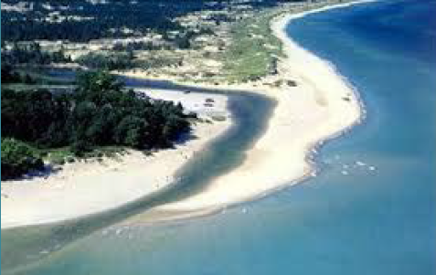
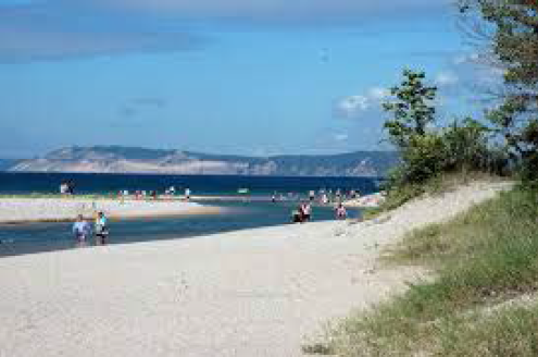
The Platte River is a short river in the northern part of the Lower Peninsula of Michigan. It’s mouth is located in Sleeping Bear Dunes National Lakeshore and much of the rest is in the Pere Marquette State Forest. The Platte River is about 28 miles in length from it’s origin in Lake Dubonett. The watershed area is about 193 square miles. The land coverage is 82% forested, open lands or wetlands; 12% agriculture, and 7% urban. Approximately three quarters of the watershed is publicly owned lands. Water in the river is clear due to extensive wetlands. Mixed conifer and hardwood wetlands give way to tamarack and arborvitae swamp near Platte Lake. The Platte River originates in Lake Dubonett flowing west and eventually turning north, flowing into Mud Lake and then into Lake Ann. From the east, additional drainage into Lake Ann comes from Ransom Creek, which drains Ransom Lake, and in turn Bellows Lake and Lyons Lake. From Lake Ann, the Platte River runs west and south. It collects the outflow of Upper and Lower Woodcock Lakes then flows through Bronson Lake. The river continues southwest. The Platte River State Fish Hatchery is on the river at Platte Creek, Michigan and Brundage Creek joins the river just to the east. The main branch receives Collison Creek just east of Honor, Michigan. At the Platte River Campground in the state forest, the river turns north west flowing toward Platte Lake.
Sorry we are experiencing system issues. Please try again.